Maps and Spatial Data
Cordell Bank National Marine Sanctuary is managed with Greater Farallones National Marine Sanctuary.
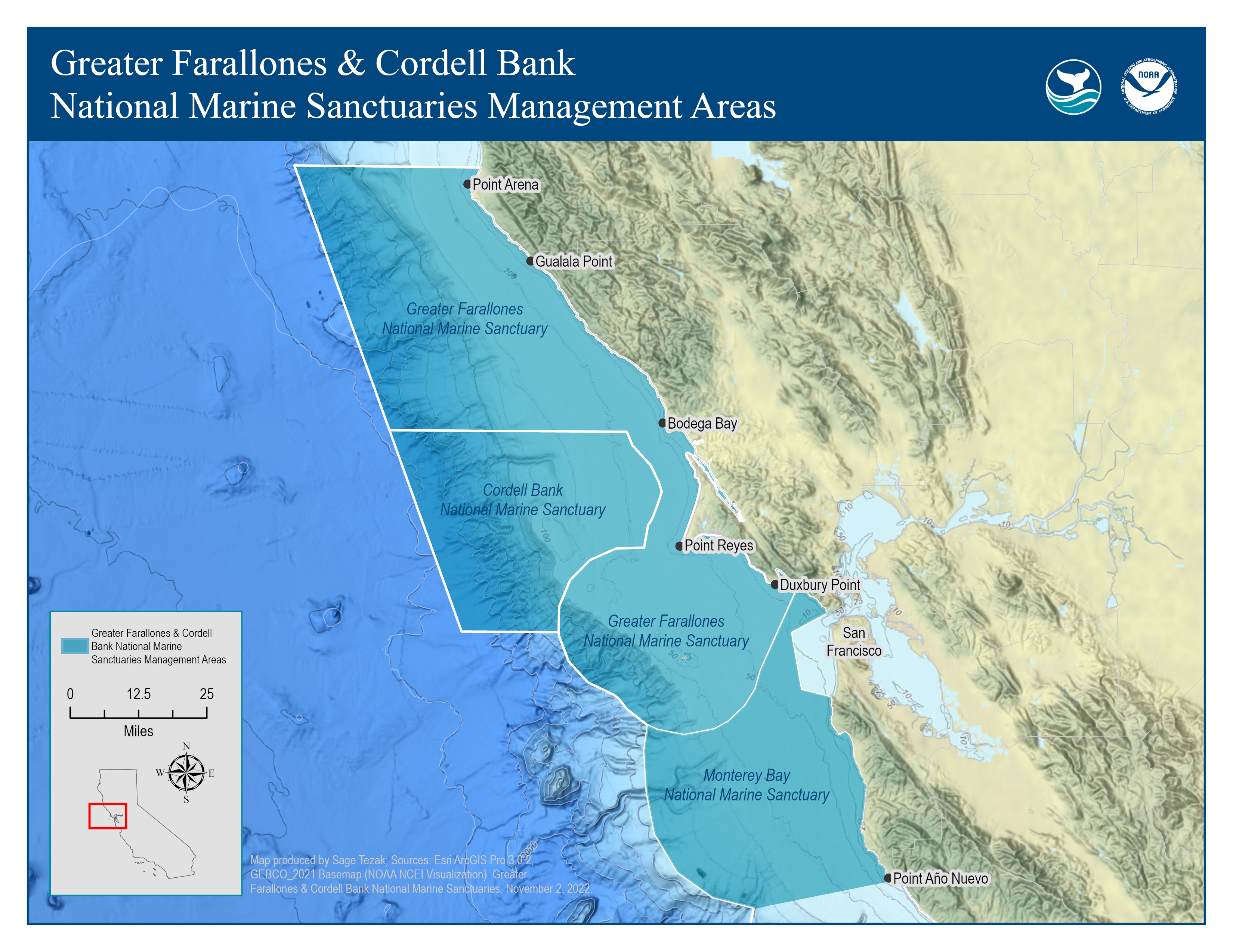
Management Area of Greater Farallones and Cordell Bank National Marine Sanctuaries

GFNMS and CBNMS also manages the northern area of the Monterey Bay National Marine Sanctuary (MBNMS) from the Santa Cruz-San Mateo County line (in Año Nuevo Bay) to the MBNMS northern boundary, off the coast of southern Marin County and accepts permit applications for this region. Read more about permit applications.
Download Management Area Map (4.4 MB)
Sanctuary Atlas Map

An atlas of Cordell Bank National Marine Sanctuary, featuring bathymetric and topographic information. Note: this map is intended to be printed as a 16.66 x 25 inch poster. This map is provided for your personal and educational use.
Download Map (13 MB)